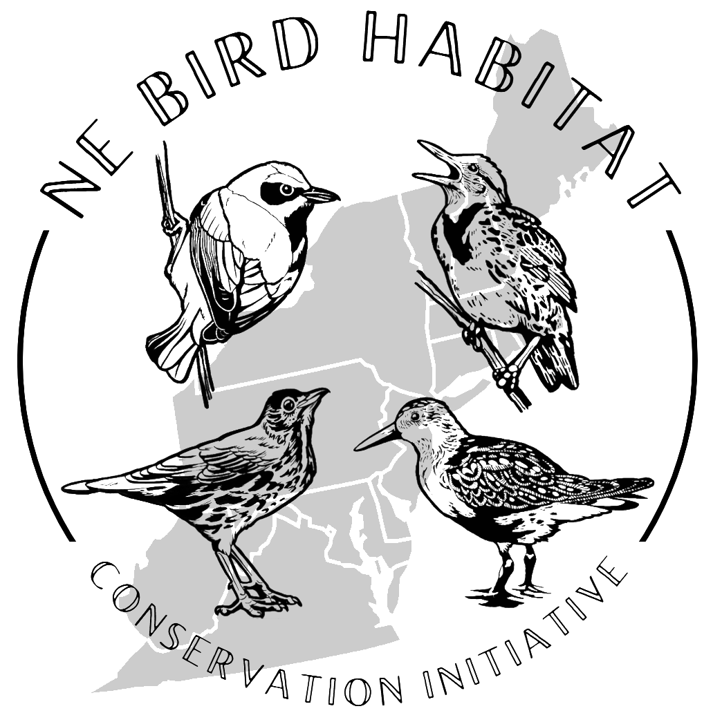
Priority Bird Mapping Tool
Four regional interactive mapping tools that display eBird Status and Trends data with strategic land conservation data layers to help prioritize land conservation, inform habitat management plans, and guide landowner outreach and engagement efforts, all through the lens of bird conservation.
Click on a button below to access the tool for your region of interest.
Within each regional tool, target bird species are selected based on their high priority status or climate vulnerability. Each of the regional mapping tools displays eBird Status and Trends data—modeled abundance data—for target bird species in various habitat types. This eBird Status & Trends data can be viewed in each region with additional data layers, such as The Nature Conservancy’s Resilient and Connected Landscapes, to address various conservation needs.
Visit the corresponding User Guide to learn more about navigating the tool, understanding the layers, and information on how to download the bird data and explore the Bird Species Guides to discover more about each priority target bird species in the region.
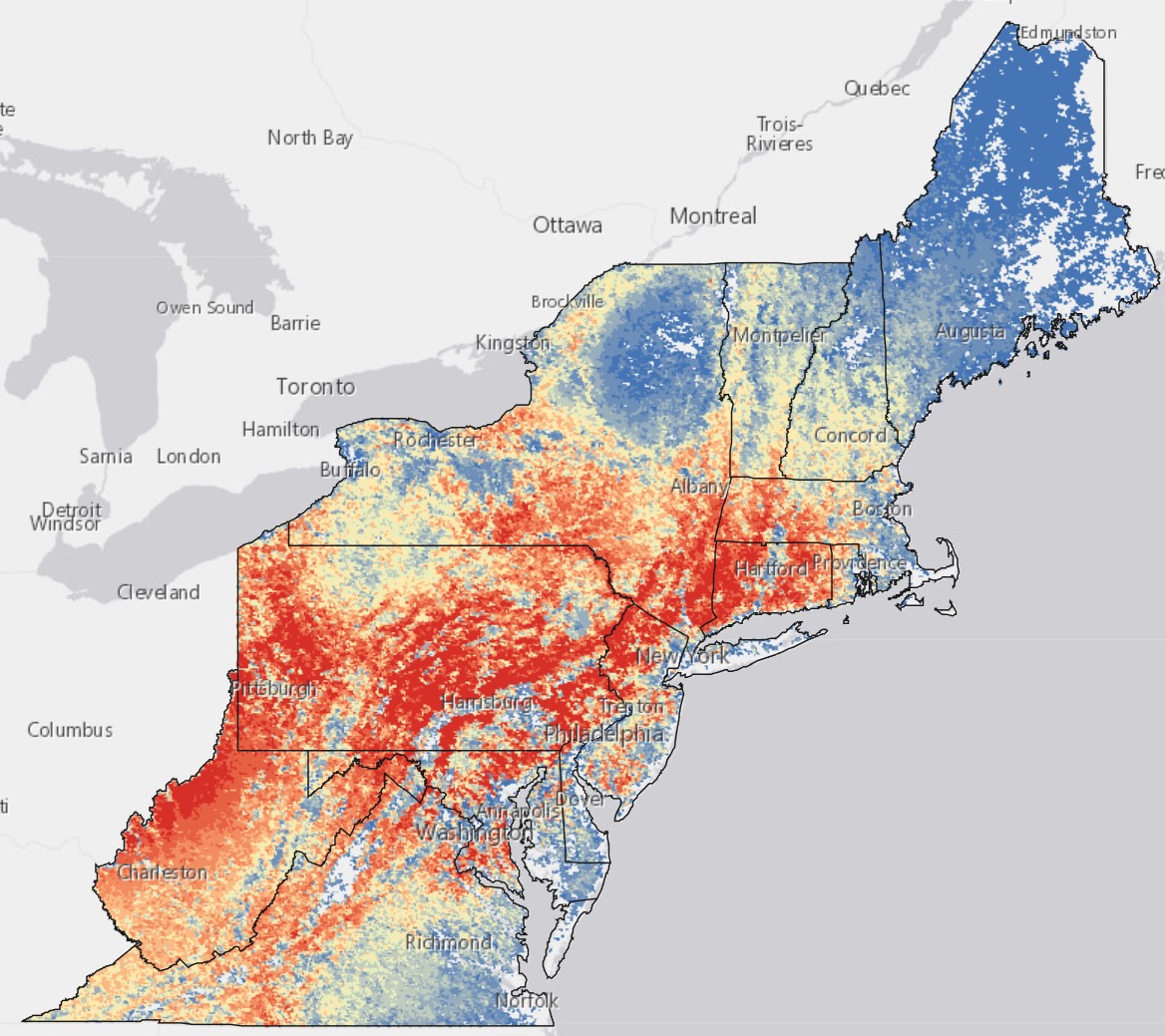
The image to the left is a screenshot from the Northeast Bird Habitat Conservation Initiative (NBHCI) Mapping Tool, which provides data for 43 target bird species in five habitat types across 13 states in the Northeastern U.S.
You can access similar layers of bird data for target bird species within each regional mapping tool, which can be overlayed with strategic land conservation data. You are also able to download the bird data through each tool platform (see link on top bar).
The NBHCI Mapping Tool was created by partners in the Northeast Bird Habitat Conservation Initiative, a collaborative effort between The Regional Conservation Partnership (RCP) Network, Audubon groups, Highstead, and the Cornell Lab of Ornithology. It was launched and shared with the conservation community in 2022.
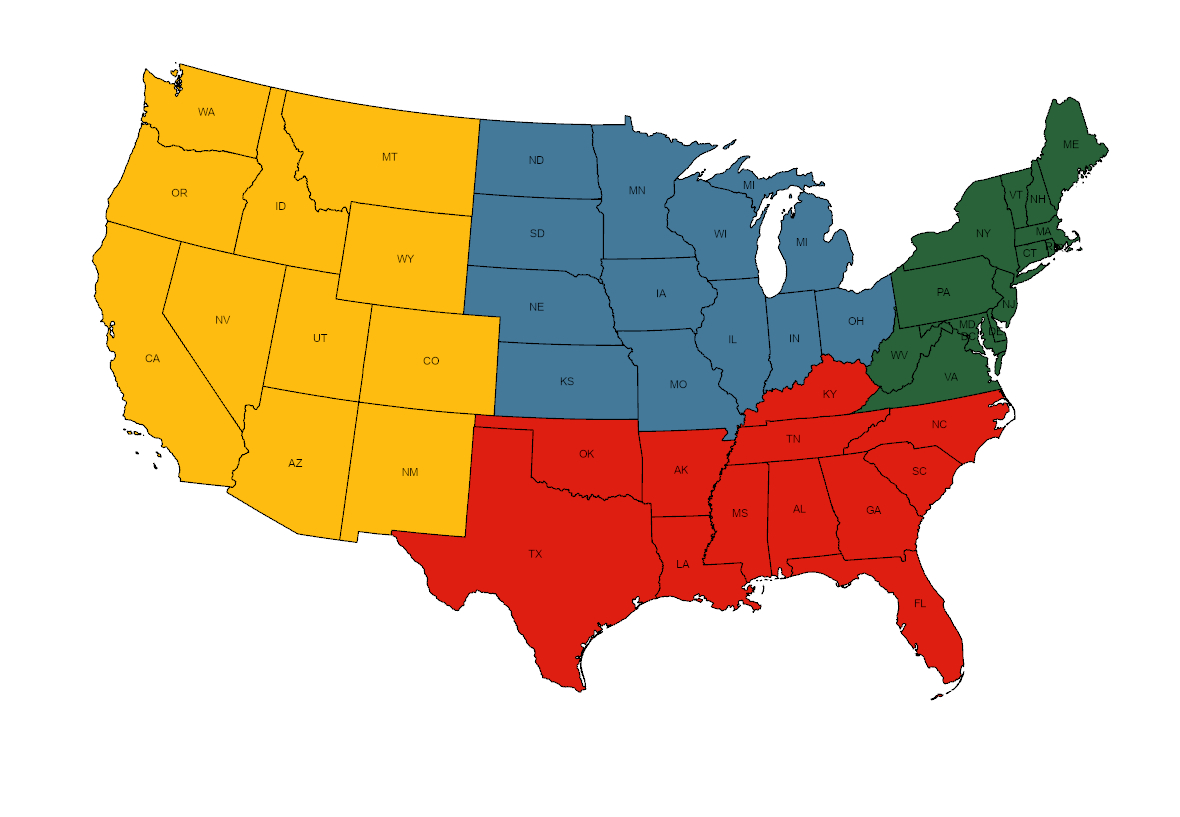
After realizing the impacts and successful use of the tool in the Northeast, the partners decided to adapt it for three additional regions in the U.S.: Midwest and Central (coming in 2025); West (coming in 2026); and Southeast (coming in 2027). For questions about any of the mapping tools, please contact us.
Mapping Tool Case Studies:
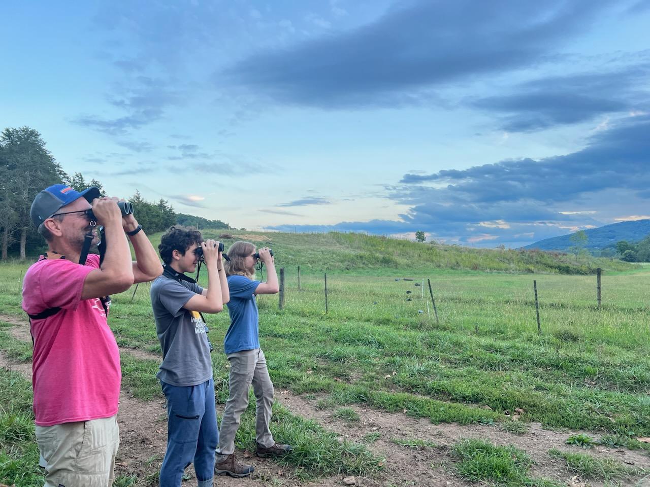
New River Land Trust (NRLT) compared data available through the NBHCI Mapping Tool with data collected by volunteers who conducted bird surveys on conserved lands in the Catawba Valley of Virginia. Finding good alignment between the two data sources, NRLT now uses the Mapping Tool to get landowners excited about bird conservation on their properties. Learn more about New River Land Trust’s project.

The Bobolink Project worked with Sudbury Valley Trustees and Metrowest Conservation Alliance to identify hayfields suitable for grassland birds in Massachusetts. The partners used data downloaded from the NBHCI Mapping Tool to create a map of high-priority grassland bird habitats, which sparked a collaboration with a class at Tufts University to develop recommendations for bird-friendly management of the hayfields at Tufts’ School of Veterinary Medicine.

Audubon Vermont uses the NBHCI Mapping Tool to help prioritize landowner engagement for bird conservation projects. Overlaying data layers in the Mapping Tool with a map of conserved lands helps Audubon Vermont identify parcels that may help connect high-quality bird habitats, which helps staff target outreach for bird-friendly forest management to landowners in these areas.