Using eBird Hotspots
Hotspots are public birding locations created by eBird users. Hotspots allow multiple birders to enter data into the same shared location, creating aggregated results available through eBird’s “Explore” tools. Hotspots are a great tool to engage local birders on protected properties while simultaneously gathering important bird data that can help inform habitat management decisions.
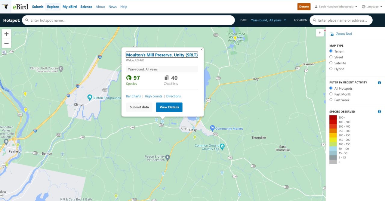
Sebasticook Regional Land Trust (SRLT) in Maine has seven properties currently listed as birding hotspots. Jennifer Irving, Executive Director of SRLT, says, “As a small land trust that is not well known in the area, we use eBird to help raise awareness and garner support for our work.” Getting people involved is the first step in producing engaged members and donors, leading to further conservation and increased funding. Read more about how the Sebasticook Regional Land Trust has leveraged eBird to contribute to their success.
You can view SRLT’s many Hotspots on eBird by clicking the locations below:
- Moulton’s Mill Preserve, Unity (SRLT)
- Richardson Memorial Preserve (SRLT)
- Kanonkolus Bog Preserve, Unity (SRLT)
- Fowler Bog Preserve, Unity (SRLT)
- Great Farm Brook Preserve, Jackson (SRLT)
- Freedom Forest Preserve (SRLT)
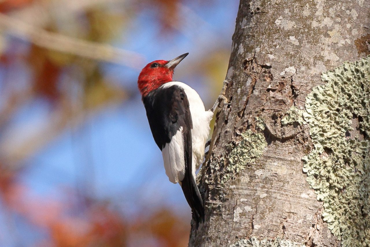
The Trustees of Reservations in Massachusetts caretakes about 100 properties across the state that amount to 27,000 acres in total. The Trustees have over 60 hotspots in the state, providing opportunities for important bird monitoring that could help scientists track trends in avian populations. Explore some of their many hotspots:
- Moose Hill Farm (TTOR)
- BHI—World’s End, Hingham (TTOR)
- Appleton Farm, Essex (TTOR)
- BHI–World’s End (TTOR), Hingham
The Island Heritage Trust in Maine holds conservation easements on over 771 acres of shore land, wildlife habitat, islands, and forests, protecting over 13 miles of shore. Explore their hotspots:

Prairie Land Conservancy (PLT) in northwest Illinois created a hotspot for Wigwam Hollow Bird Sanctuary in July 2021. Since then, almost 100 eBird checklists have been completed, including a breeding bird surveys conducted by volunteers. A total of 111 species have been identified so far, including several listed by the state as Species in Greatest Conservation Need due to their declining populations. These include species associated with woodland habitat—such as the Northern Flicker and Eastern Towhee; as well as with grassland habitat—such as the Field Sparrow. eBird data helped PLT identify important bird species on their parcel and therefore target habitats that need protection and/or restoration.
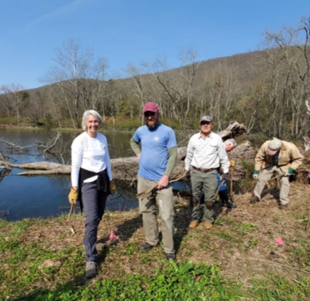
Kent Land Trust (KLT) is using several eBird hotspots across their service area, one of which is engaging community members in assessing the success of their wetland habitat restoration project on the Claire Murphy Riverwalk trail. KLT removed invasive plants with a large team including a contractor, staff, and volunteers. Interpretive signage was installed to inform visitors of the restoration project and assists them in using the property’s eBird hotspot.
Explore KLT’s other hotspots:
- Avian Preserve, Litchfield County, CT
- East Kent Hamlet Nature Preserve, Litchfield County, CT
- Iron Mt Preserve, Litchfield County, CT
- West Aspetuck Scenic Wetlands Preserve, Litchfield County, CT
- Audrey and Robert Tobin Preserve, Litchfield County, CT
- Skiff Mountain South Preserve
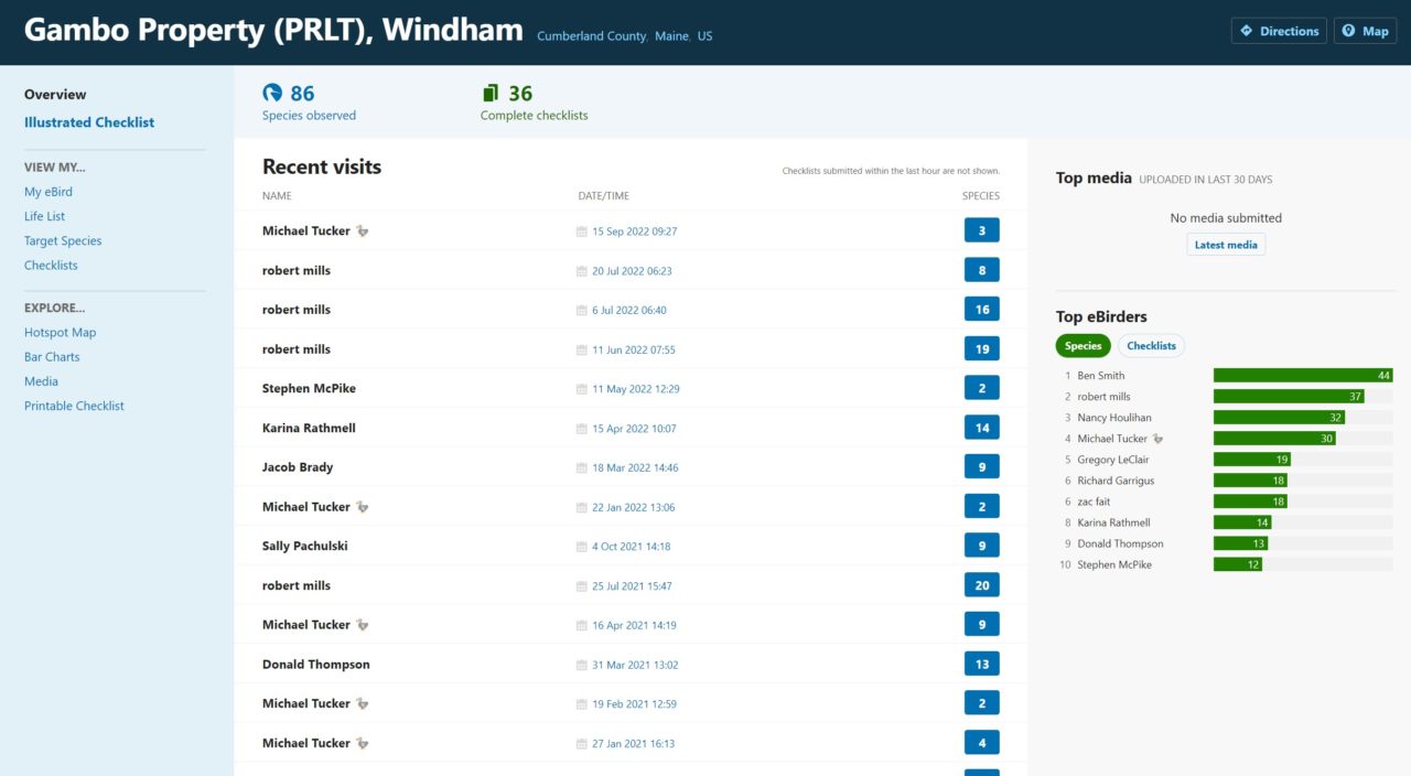
The Presumpscot Regional Land Trust in Maine holds 2,170 acres of conserved lands with 18 free public access preserves that include trails and water access with hotspots at:
Recent visits to Gambo Property are recorded through eBird (see left). This function allows you to view who your top contributors are, which is a great resource should you need a volunteer to conduct regular monitoring or lead an eBird training.

